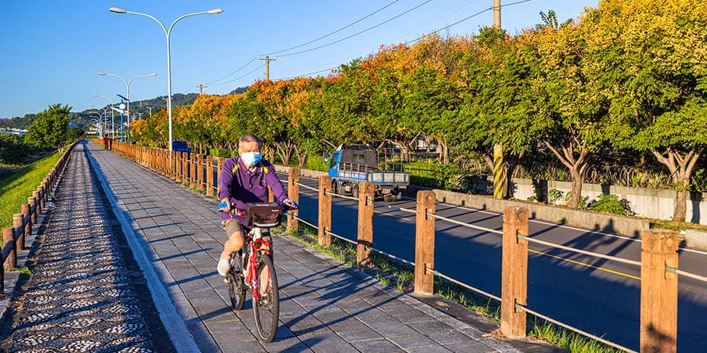
Toubiankeng River Embankment Bikeway

Introduction
Location
Dali District, Taiping District
Themes
Tun area
Length of route
13km
Duration
1hours
Height above sea level
55~117m
Calories burnt
346.6kcal
Route highlights
Starting Point:Toubiankeng River Embankment Bikeway on Taiti West Road Ending Point:Toubiankeng River Embankment Bikeway on Taiti West Road
Toubiankeng River Embankment Bikeway is 13 kilometers in length. Bike paths are on both sides of the river. It is located at the junction of Taiping District and Dali District, ideal for riders of all ages. After Yijiang Bridge, cyclists can choose to take the more challenging Toubiankeng-Jiutong Mountain Bike Path or County Highway 136 to go up to Chikanding Mountain.
The Guangxinglong Bridge of Taiping crosses over Toubiankeng River and connects to Taiping Road and Section 1 of Xinglong Road. The bridge is designed with the image of bats, implying bats (which is a homophone of “fortune” in Chinese Mandarin) landing in Taiping. The changing LED lighting at night is spectacular.
Pre-trip preparation
It is recommended to bring drinking water in personal bottles.
It is recommended that you bring sunproof clothing, hats, and handkerchiefs in summer, and windproof jackets in winter.
It is recommended to wear shoes that are easy to move and exercise in.
Suitable for
Parent-child
Couple
Friends
Elderly
Cyclist
Highlight category
Bike around Taichung, and enjoy the outdoors.
Services
Parking
Toilets
Bike rental station
Information
Vistor tips
The bike path is built along Toubiankeng River, giving visitors magnificent riverfront scenery along the way.
The bike path is mostly flat, ideal for family with children and the elderly.